A cross-platform pointcloud viewer built with Tauri, React, and Three.js. Import LAS/LAZ files with octree-based LOD rendering.
Import industry-standard LAS and compressed LAZ pointcloud files from laser scanners and photogrammetry.
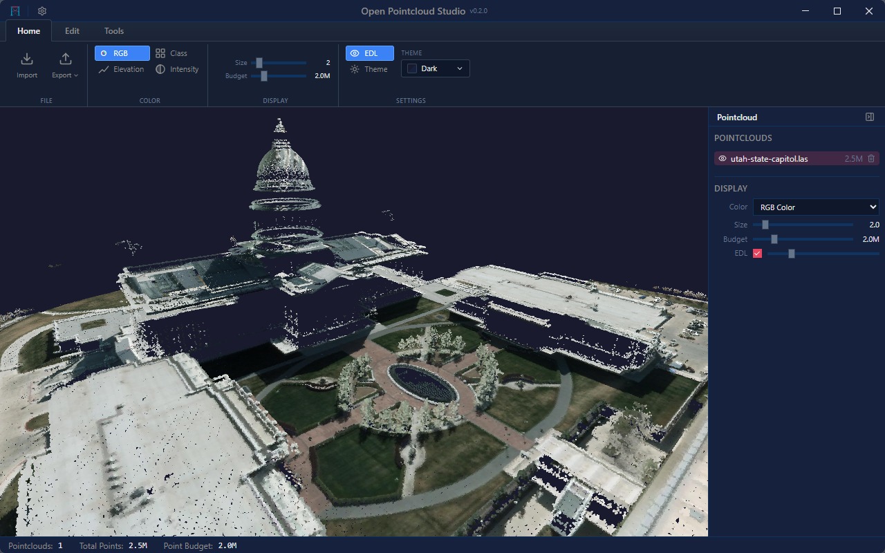
View point clouds colored by RGB, elevation, classification, or intensity.
Filter points by ASPRS classification codes. Toggle visibility of ground, buildings, vegetation, and other classes.
EDL shading for enhanced depth perception and visual clarity of point cloud surfaces.
Level-of-detail rendering with adjustable point size and point budget for smooth navigation of large datasets.
Dark, Light, Blue, and High Contrast themes.